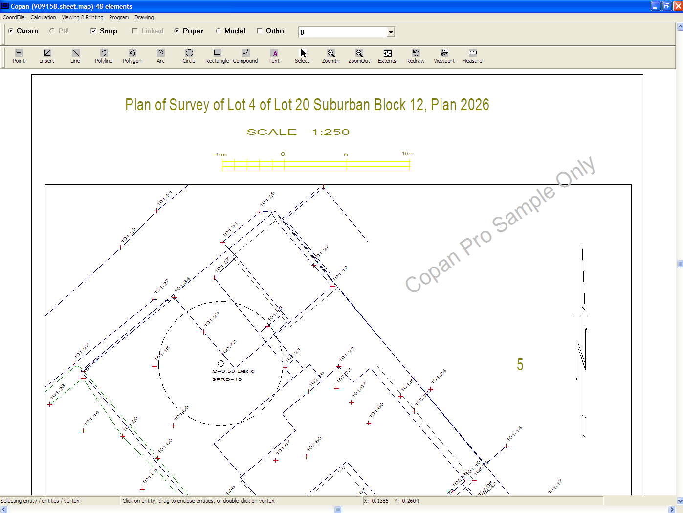
Copan Pro Screenshot
Copan Pro -- for Windows 98, NT, 2000, ME, XP, Vista, or 7 -- is a very functional and easy-to-use desktop/netbook geomatics engineering tool for computing and managing plane land surveying and mapping coordinates, and drafting survey maps and plans.
It does numerous coordinate geometry (COGO) calculations, processes and adjusts raw field survey data, computes and adjusts map traverse data, performs map or deed checks, calculates areas and perimeters, performs coordinate transformations, imports/exports Ascii files, draws lines, arcs, polylines, labels and symbols, and processes digital level data.
It supports quadrant and whole-circle bearings, south-based and north-based circle bearings, and gons (or grads) as well as degrees-minutes-seconds. It saves coordinate files continuously -- no need to save manually. It supports Geodimeter, Leica, Wild, Nikon and TDS total station formats. Draft with it in model-space or paper-space, via mouse cursor or via coordfile point. Its coordinate files may be accessed by UGL's version of Windows Free42, an HP-42S simulator program, or copied to a memory card and used directly by the Palm OS, Pocket PC and Mobile versions of Copan.
Designed for land surveyors, geodetic/civil engineers, professionals and students, Copan Pro is available from UGL at http://www.underhill.ca/software/copan-pro for free, limited-time use. Request password from http://www.underhill.ca/software/copan-pro-software-key.
Back to Copan Pro Details page
- Pro Automated Music File Organizer Pro
- Video Master Pro Jet Pro Software
- Titledeko Pro For Sony Vegas Pro
- Pro Optimizer Pro Phone Number
- Divx Pro Codec Premier Pro
- Samsung Corby Pro Guitar Pro
- Document Printer Pro DocPrint Pro
- Wordweb Pro For Samsung Omnia Pro
- Music Organizer Pro Pack Pro
- Music Organizer Pro Tool Pro