AvisMap Free Viewer Screenshot
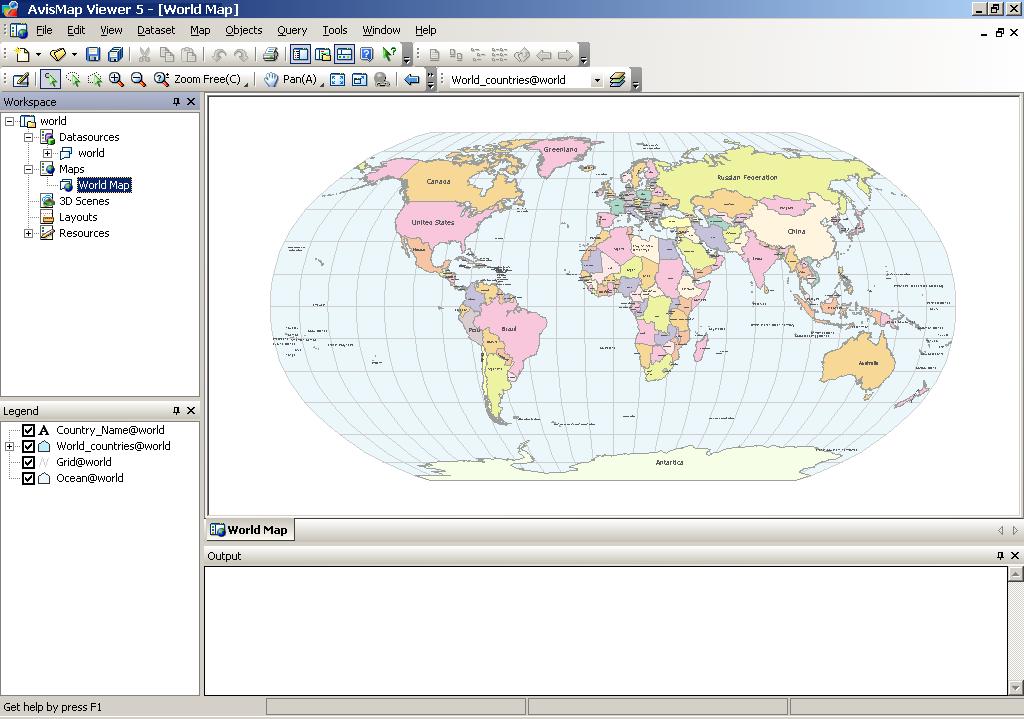
The free AvisMap Viewer opens most GIS/CAD and raster image file types and most ArcView, ArcExplorer, and MapInfo projects. Besides just opening and viewing files, the Viewer supports an extensive list of features including visual layer properties control, legend control, thematic mapping, spatial and attribute querying, custom labeling, on-map measurements, hyper-linking, PDF export and much more.
Because the GIS Viewer is compiled from the AvisMap Map Engine, it provides an easy way to evaluate the AvisMap technology and support for various data formats and common GIS functionality. The free Viewer can be used to generate AvisMap project files that are compatible with any other AvisMap product or custom applications created from the AvisMap GIS Engine.
The AvisMap Desktop product extends the free Viewer by adding an extensive set of features for editing, digitizing, merging, exporting, converting (between formats), building/correcting map topology, etc. GIS shapefile map data.
AvisMap Viewer feature summary:
* Open/read data in the following file formats:
- Raster image: TIFF/GeoTIFF, ECW/ECWP, MrSID, JPEG2000, JPEG, IMG, BMP, BIL/SPOT, PNG, CADRG, CIB, AvisMapPixelStore
- Vector: SHP, E00, MIF/MID, TAB, DXF, DGN, TIGER, GML, KML, VPF, GDF, DLG, SDTS, GPX,
Geomedia SQL Server & Access Warehouses, SQL DB Layers: Geomedia SQL Server & Access Warehouse,
per OPENGIS Simple Features for SQL implementation, AvisMap binary
- DTM formats: ESRI ASCII GRID, Surfer ASCII Grid (DSAA), FLOAT GRID, BT, DTED, and ADF
- Georeferenced Images: GeoTIFF, World File, and TAB based
* All formats supported natively, with no importing of data to any internal format
* Open data in many different formats in the same project, with no need for format conversion
Back to AvisMap Free Viewer Details page
- Avismap Tutorial
- AvisMap GIS Engine
- Ai Viewer Free
- Free Ip Viewer
- Free Rm Viewer
- Free Ai Viewer
- Free Gs Viewer
- Free Help Viewer
- Gp Viewer Free
- Free Nsf Viewer