GIS.NET Screenshot
Develop high-performance mapping software with GIS.NET. This component uses state-of-the-art vector rendering technology to draw complicated maps of anywhere in the world. Supports desktops, PocketPC, Tablet PC, Smartphone, and Windows Mobile 5! Download a free 30-day trial now and see just how fast GIS.NET can get your location-based software to market!
GIS.NET is loaded with features, including:
Full support for PocketPC, WindowsCE, Smartphone and Windows Mobile!
Supports an unlimited number of layers and shapes.
Supports text annotations in any color or font.
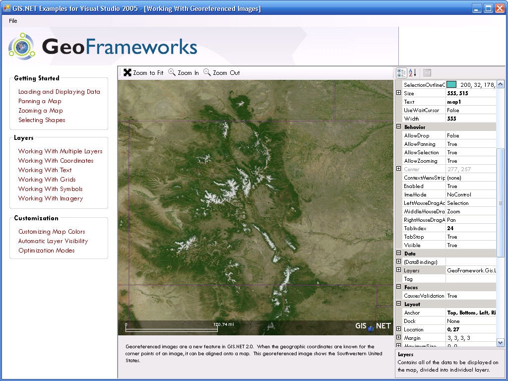
Supports georeferenced images such as satellite and topographical imagery!
Supports customized symbols for labeling cities, waypoints, or any other location.
Highly-optimized vector rendering engine, tuned for each .NET platform.
Automatically smoothly fades layers in and out to show the maximum amount of detail.
Automatically arranges layers to produce the most meaningful maps.
Easily integrates with with GPS.NET to create the ultimate vehicle tracking applications!
Converts coordinates from latitude/longitude <--> UTM.
Calculate distance, bearing, intersection, and positions within range.
UTM calculations work across UTM zones!
Dynamic Help and IntelliSense for Visual Studio.NET
Windows Mobile™ certified
Unlimited, royalty-free license!
Download a free 30-day trial now and see just how fast GIS.NET can get your location-based software to market!
Back to GIS.NET Details page
- Gis Asp Net
- Raster Gis
- Gis Germany
- Mapwindow Gis
- Churches Gis
- Gis Applications
- Gis Torrent
- Gis Symbol
- Arcview Gis
- Gis Programming