Eye4Software GPS Mapping Studio Screenshot
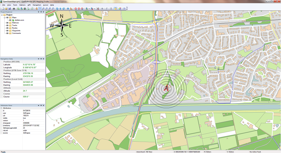
GPS Mapping Software for Windows, Loading topographic maps, realtime navigation, track recording, manage GPS devices and more. The software can be used with various map formats including: GeoTiff, BSB Nautical Charts, AutoCad DXF files, ESRI Shapefiles. Using calibration you can also use scanned or downloaded JPG, BMP, GIF, PNG and TIF maps. The software can be used for survey, research, track and trace and more. The software has more then 3500 map projections build in.
Back to Eye4Software GPS Mapping Studio Details page
Eye4Software GPS Mapping Studio Related
- Gps Mapping Software Gps Tuner
- Australian Gps Mapping
- Gps Mapping Freeware
- Uk Gps Mapping Software
- Gps Mapping Pilot
- Freeware Marine Gps Mapping
- Oziexplorer Gps Mapping Software
- Floor Plan Mapping Gps
- Mapping Marine Gps Coordinates
- Gps Mapping Software For Nokia
New software of Home & Education, Science
GHC Timetables generator EN - Penalara GHC is an automatic software to generate timetables for schools of different levels: primary schools, high schools, vocational schools, universities and all other academic institutions.
Match n Freq - Pulse shaping filter program that finds the pole-zero locations of a transfer function, H(s), for a matched filter. H(s) equals a -desired- signal (Yout) divided by a given input signal (Yin). Y's are in freq. Another improved productivity example.
Water Supply - Water Supply is a calculator by Dynamic Applications that allows you to calculate cost, effort, time and volume of your own, self-built House Well. Includes a simple House Water Reservoir Battery Simulation. Is it possible? - we say yes.
Wind Turbine - Wind Turbine is an interactive Return on Investment Planner for Renewable Energies. It brings various small Simulations based on the Dynamic Applications Platform of Business Planners. Calculates Total Cost of Ownership as well as Return on Invest.
Nature Simulations - Nature Simulations is a collection of Small Business Planners around Nature, Humans, Plants and Animals. It starts with a children's model simulating a small river from Black to Caspian Sea, at 0 m above ground. See Trees around Aral Sea, diplomacy.
Apeaksoft Blu-ray Player - Apeaksoft Blu-ray Player enables you to play DVD/Blu-ray disc/folder/ISO files. It can also play 4K/1080p HD videos and general videos like MP4, MOV, AVI and more. It can provide high-definition images for you.
netcdf viewer - NetCDF Viewer can show the variables of your files and can present each variable has how many dimension. NetCDF Viewer shows to the user that how many elements are there in a dimension. With NetCDF Viewer, the user can view global attribute.
Netcdf Extractor - If the user wants to load the files one by one, it will be a time consuming and tedious process and this process is prone to error. By this software the user can save time, and the user can quickly do the extract process.
Open NC File - 'Open NC File' can open and read data from nc and nc4 files with unlimited dimension or without it. The nc user in 'Open NC File' can define the name of the unlimited dimension.
Model Analyzer Tool - Model Analyzer Tool: Windows software for comprehensive analysis. Features include QQ-Plots, Residual Plots, Confidence and Prediction Bounds, and Autocorrelation detection for robust model evaluation.