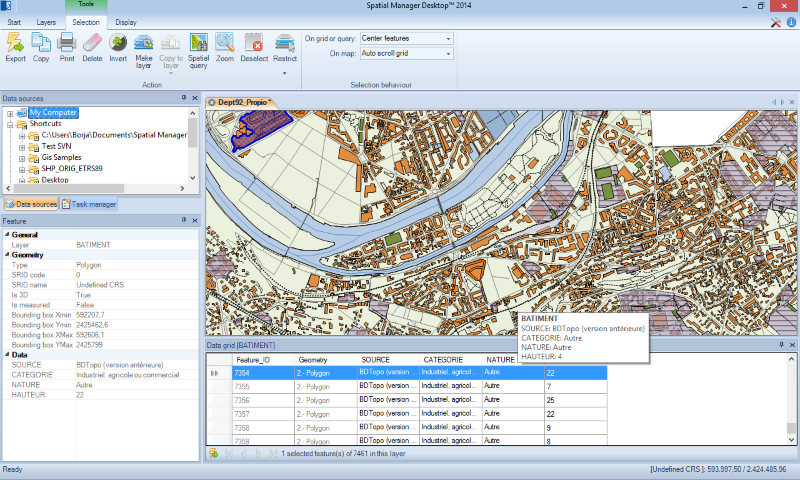
Spatial Manager Desktop Screenshot
Spatial Manager Desktop is a desktop application designed to manage spatial data in a simple, fast and inexpensive way.
Developed by a group of professionals working in the areas of GIS, Planning, Infrastructure and Civil Engineering, it provides the user with powerful tools to address the most common tasks of management and operation in the world of spatial information.
Spatial Manager Desktop will calculate geometric transformations of the features in line with the import or export processes, which will depend on the chosen Coordinate Reference System (CRS) for the source and target data.
The user can choose the appropriate CRSs from a complete CRS catalog or from a list including the most recent used CRSs.
Spatial Manager Desktop incorporates the UDS technology to easily connect with spatial database servers, or data stores, and also as the way the user can define the path to a particular spatial data file, including their own connection parameters.
UDSs avoid having to enter a lot of connection parameters, which are not easy to remember, and they are stored inside the user settings to take advantage of them in every application session.
Spatial Manager Desktop tasks are the way the user can save any import or export process and its parameters in order to run repetitive processes for import or export data tables.
The user can execute any task directly from the application or from the operating system command window; this feature also lets the user define powerful batch processes.
Back to Spatial Manager Desktop Details page
- Spatial Skills
- Et Spatial Techniques
- Spatial Shooting Game
- Spatial Display Editor
- Free Race Spatial
- Spatial Strategy Game
- Memory Matrix Spatial Recall Game
- Js Desktop Manager
- Xp Desktop Manager
- Desktop Pc Schedule Manager