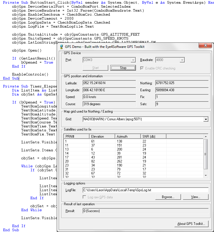
Eye4Software GPS Toolkit for Java Screenshot
Java toolkit to add coordinate conversion functionality to your Java applications and applets. The toolkit offers functionality to perform map grid and datum transformations: latitude and longitude can be converted to various map grids, like Transverse Mercator (TM), Oblique Mercator, Mercator, Oblique Stereographic, Polar Stereographic, Cassini, Albers Equal Area Conal, Gauss Kruger or Lambert Conformal Conic projection, Lambert Azimuthal Equal Area and Krovak, for instance, to convert the GPS position to UTM or NAD27 / NAD83 State Plane. All map grid parameters can be specified (Scale Factor, False Northing, False Easting, Origin Latitude, Origin Longitude, North Parallel, South Parallel ) allowing you to convert your position to any map grid around.. NADCON, HARN and NTv2 datum conversions are supported. The product can be used to develop software for many operating systems, including: Linux, Windows, Solaris and Android. But also web oriented platforms by using Applets. The software contains more then 5000 map datums and local map grid definitions.
Back to Eye4Software GPS Toolkit for Java Details page
- Gps Toolkit Vb
- Java Ucp Toolkit
- Java Toolkit For Opc
- Java Deployment Toolkit
- Java Deployment Toolkit Np
- Sun Java Wireless Toolkit
- Java Bean Development Toolkit
- Sun Java Tm Wireless Toolkit
- Sun Java Imaging Toolkit
- Sun Java Wireless Toolkit For Pdf